Redefining Utility Detection: The Role of Non-Invasive Borehole and Trenching Technologies
In an era where urban infrastructure longevity and environmental preservation are paramount, the exploration of advanced methods for **locating deep sewer lines** without resorting to conventional digging has become a critical focus for utility specialists. Ground-penetrating radar, electromagnetic induction, and acoustical sensors are among the top-tier tools that exemplify the shift towards sustainable, efficient underground site assessment.
Leveraging Hydrovac and Vacuum Excavation for Precise Subsurface Mapping
Hydrovac technology, distinguished by its precision and minimal soil disturbance, complements traditional excavation through its advanced soil removal techniques. When integrated with sophisticated **vacuum excavation** systems, it enables detailed mapping of underground utilities, reducing the risk of accidental damage and service outages. These methods are often supported by **trenchless** techniques, which offer significant advantages over open-cut excavation by preserving existing infrastructure and reducing surface disruption.
The Underlying Science: Soil Composition and Signal Penetration
Understanding how soil types affect the efficacy of signal-based detection methods is essential. For instance, **heavy clay soils** can attenuate electromagnetic signals, necessitating the adaptation of detection frequencies or the use of complementary acoustic methods. Recent studies on soil impedance variations, like those discussed in the Journal of Applied Geophysics, shed light on optimizing detection strategies based on local geotechnical properties.
Questioning the Limits of Conventional Trenching and Shoring
Can advanced sensing technologies reliably replace the need for physical trenching in complex urban environments?
Given the ongoing debate among utility contractors and civil engineers, this question probes the reliability of **non-invasive detection** versus traditional methods. While breakthrough innovations have increased confidence, complexities such as soil heterogeneity and underground interferences still present challenges that require ongoing research. Experts emphasize that combining multiple detection modalities enhances accuracy, especially in densely populated areas.
Integrating Multi-Method Approaches for Superior Site Assessment
Combining electromagnetic surveys with [ground-penetrating radar](https://hydrovacdrilling.com/why-ground-penetrating-radar-fails-in-heavy-wet-soil) and acoustic testing provides a layered detection scheme that significantly improves the probability of successfully locating deep sewer lines. This multi-modal approach aligns with best practices outlined in industry white papers and supports proactive risk management.
Future Directions: Embracing AI and Data Analytics in Utility Locating
Emerging tools empowered by artificial intelligence have begun to analyze complex geophysical data sets, offering predictive insights and reducing false positives. As these technologies mature, the integration of real-time data analytics into vacuum excavation and hydrovac operations promises to revolutionize underground utility mapping.
For in-depth insights on safe and effective vacuum excavation protocols, consult the comprehensive resource on [vacuum-excavation safety best practices](https://hydrovacdrilling.com/vacuum-excavation-safety-best-practices-to-prevent-accidents).
Given these advancements, industry professionals are encouraged to stay at the forefront of research, contribute case studies, and continually refine detection methodologies to optimize urban utility maintenance and installation projects.
Enhancing Soil Analysis to Improve Detection Accuracy
Accurate underground utility detection begins with an in-depth understanding of soil properties. Advanced geotechnical assessments, including soil impedance testing and moisture profiling, inform the selection of appropriate sensing technologies. By tailoring detection methods to specific soil conditions—such as differentiating between sandy, clayey, or rocky substrates—field professionals can significantly reduce misidentification risks and avoid costly relays or damage. Integrating soil analysis data with geophysical surveys supports a more predictive and reliable approach to underground utility mapping.
Incorporating Autonomous Equipment for Smarter Excavation
The advent of autonomous machinery introduces a new dimension to trenching and hydrovac operations. These systems, equipped with sophisticated sensors and real-time data analytics, can adapt excavation parameters dynamically, minimizing soil disturbance and optimizing safety. For example, autonomous vacuum excavation units can precisely target areas with high utility density, reducing human error and enhancing operational efficiency. Embracing automation also improves consistency in trench shoring and support structures, mitigating risks associated with site instability.
Adapting Detection Strategies in Dense Urban Landscapes
Urban environments pose unique challenges due to compacted underground utilities, high-density construction, and complex soil layers. To navigate these constraints, industry experts advocate adopting layered detection schemes that combine electromagnetic, acoustic, and resistivity measurements. This multi-technique approach facilitates comprehensive site assessment, even in cluttered conditions. Moreover, proactive communication with utility operators and employing detailed utility maps align detection efforts with existing records, further enhancing accuracy and safety.
Could Emerging Technologies Bridge the Gap Between Detection and Excavation?
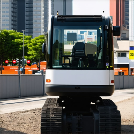
As the industry advances, a pressing question emerges: Can sensor fusion and machine learning truly replace traditional trenching in complex projects? While current research demonstrates promising results—such as enhanced signal interpretation and predictive modeling—the reality remains nuanced. The integration of AI-driven analytics, as highlighted in recent studies by the Society of Exploration Geophysicists, offers the potential for smarter decision-making, but it must be complemented by seasoned expertise and on-the-ground validation.
For those interested in refining their site assessment toolkit, exploring resources like 3 Signs Your Trench Wall Is About To Cave In can provide practical insights into preemptive safety measures. Embracing these technological and procedural innovations positions industry professionals to deliver safer, more efficient underground utility projects.
Synergizing Detection Technologies for Complex Soil Conditions
One of the most pressing challenges in underground utility mapping is accommodating highly variable soil compositions that can attenuate or distort signal responses. Implementing an adaptive detection protocol involves integrating geophysical techniques, such as electromagnetic induction with ground-penetrating radar, calibrated specifically for dominant soil types identified through comprehensive geotechnical surveys. For example, in regions with high clay content that diminishes electromagnetic signals, shifting towards acoustic methods or resistivity measurements can markedly enhance accuracy. This multi-faceted approach requires a mastery of soil-utility interactions, emphasizing the necessity for specialized training and real-time data integration. As noted by the American Society of Civil Engineers (ASCE), harmonizing these methods not only improves detection reliability but also optimizes resource deployment, minimizing project delays and unforeseen costs.
Can AI-Powered Data Fusion Revolutionize Utility Detection?
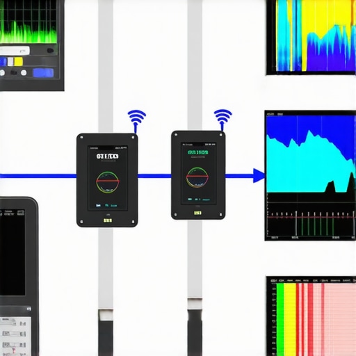
Emerging artificial intelligence algorithms that synthesize inputs from diverse sensing modalities are poised to transform underground utility detection. Machine learning models can analyze patterns from electromagnetic, acoustic, and resistivity data, discerning subtle anomalies that might elude traditional interpretation. This intelligent data fusion enables more confident identification of utilities, even amidst complex subsoil environments. Recent breakthroughs, such as deep learning models trained on extensive geophysical datasets, demonstrate improved predictive accuracy and reduced false positives, as documented in the Journal of Geophysical Research. However, deploying such systems at scale demands robust validation, integration with existing GIS databases, and ongoing operator training to interpret AI recommendations effectively.
Continuing education in this domain is supported by industry workshops and certifications in data analytics and machine learning tailored for geophysical applications. As these technologies mature, their integration will necessitate a paradigm shift, encouraging industry professionals to embrace a hybrid approach that combines expert judgment with automated insights to optimize underground utility management. This evolution prompts a critical question: How can practitioners balance technological reliance with practical expertise to ensure safety and precision? To explore this further, subscribing to specialized industry publications and participating in interdisciplinary conferences can provide valuable perspective and case studies demonstrating successful implementation in real-world scenarios.
Maximizing Data Fusion to Overcome Geotechnical Obstacles
In the quest for precise underground utility mapping, integrating multimodal sensing data—such as electromagnetic induction, ground-penetrating radar, and resistivity—can dramatically enhance detection accuracy amidst heterogeneous soil conditions. By leveraging advanced data analytics and machine learning algorithms trained on diversified geotechnical datasets, practitioners can decode complex signal interactions caused by soil impedance variations, ensuring reliable utility localization even in layered substrate scenarios. This approach demands a nuanced understanding of the interaction between geophysical signals and soil properties, emphasizing the importance of continuous field calibration and adaptive analysis models.
Why Calibration Goes Beyond the Surface: Linking Soil Science to Utility Locating
Deepening the connection between soil science and detection technology reveals that thorough soil impedance and moisture content assessments can inform tailored calibration of sensing equipment. For instance, in clay-rich zones where electromagnetic signals attenuate rapidly, adjusting frequencies or incorporating acoustic testing compensates for signal loss. Such precise customization demands collaboration between geotechnical engineers and geophysicists, fostering a holistic approach that elevates detection reliability. According to authoritative research published in the Geophysical Journal International, integrating real-time soil property monitoring with geophysical surveys substantially reduces false positives and enhances anomaly resolution.
How can specialized training in soil-utility interactions elevate underground mapping?
For utility professionals and geophysicists, specialized educational programs focusing on the dynamics of soil behaviors and their impact on signal propagation are invaluable. Courses that cover soil composition analytics, sensor calibration techniques, and interpretation of complex geophysical data improve operational precision and decision-making. Such expertise ensures that detection technologies are employed to their full potential, minimizing costly excavation errors and environmental footprint.
To stay at the cutting edge, industry veterans and newcomers alike should engage with accredited training modules provided by organizations like the Geological Society of America, participate in targeted workshops, and contribute case studies that advance collective knowledge.
Harnessing Autonomous Technologies to Replace or Enhance Trenching
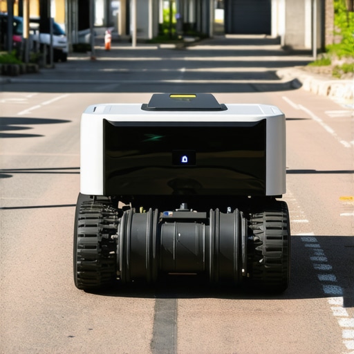
The utilization of autonomous excavation machinery, embedded with real-time sensing and adaptive algorithms, marks a transformative shift from traditional trenching methods. These systems dynamically analyze subsurface conditions, adjusting excavation parameters on-the-fly to optimize safety and minimize surface disruption. By deploying robotic vacuum excavators with integrated geophysical sensors, operators can achieve unprecedented levels of precision, particularly in congested urban settings where utility densities are high and surface access is restricted. Embracing automation not only mitigates human risk but also accelerates project timelines, reducing operational costs significantly.
Expert Insights & Advanced Considerations
Harness the Power of Data Integration
Integrating multiple sensing modalities, such as electromagnetic induction, ground-penetrating radar, and resistivity imaging, enhances accuracy in complex soil conditions, enabling professionals to distinguish utilities with higher confidence.
Embrace Soil Science for Precision
Deep knowledge of soil properties like impedance and moisture content allows for tailored calibration of detection tools, reducing false positives and safeguarding existing infrastructure.
Leverage Artificial Intelligence for Smarter Mapping
AI-driven data fusion models analyze diverse geophysical signals, providing predictive insights that streamline excavation planning and deepen understanding of subsurface environments.
Automate for Safety and Efficiency
Autonomous excavation and sensing systems dynamically adapt to soil variability, minimizing risk, enhancing precision, and accelerating project timelines in urban settings.
Collaborate for Continuous Innovation
Engage with interdisciplinary research, industry workshops, and expert communities to remain at the forefront of utility detection technologies and methodologies.
Curated Expert Resources
- Society of Exploration Geophysicists Publications: Leading research and case studies on integrating AI with geophysical surveying techniques.
- Geophysical Journal International: Peer-reviewed articles on soil-utility interactions and advanced detection calibration strategies.
- American Society of Civil Engineers (ASCE) Reports: Industry standards and innovative practices for safe underground utility mapping.
- HydrovacDrilling.com Resources: Practical guides on vacuum excavation safety and trenchless technology advancements.
- International Conference on Subsurface Utilities Engineering: Networking and knowledge-sharing platform for the latest breakthroughs and field experiences.
The Final Word in Utility Detection
In the realm of underground utility mapping, the combined benefits of soils understanding, sensor fusion, and automation elevate industry standards—confidence in locating deep sewer lines is no longer just aspirational but achievable. As technology continues to evolve, proactive engagement with expert resources and ongoing research becomes essential for staying ahead. Connect with industry peers, contribute insights, and advocate for innovative practices that prioritize safety and precision—your expertise shapes the future of subterranean infrastructure.